


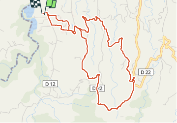


9.4 km | 14.9 km-effort

User GUIDE


FREE GPS app for hiking
 SityTrail
IGN / Geographical institutes
SityTrail World
The world is yours!
Trail Walking of 8.5 km to be discovered at Martinique, Unknown, Le Lorrain. This trail is proposed by GabyG.
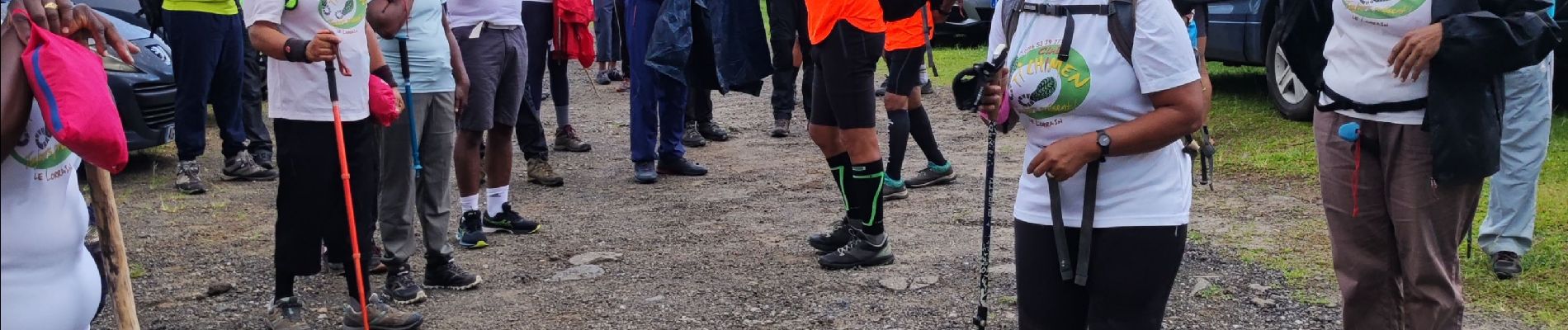
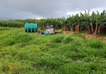
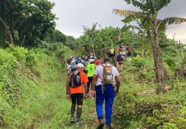
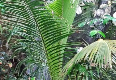
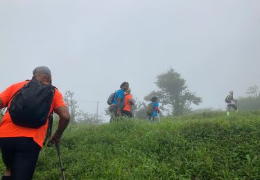
Tout d'abord, au noms de ceux qui étaient avec moi : Nous tenons à remercier l'Association "Club Ti Chimens" pour l'accueil qu'elle nous a faite, tant par ses adhérant que par les dirigeants pour cette randonnée sportive et de découvertes sur les Mornes Capot ! Bien que beaucoup de propriétés sont privées, mais les quartiers sont si beaux et les points de vue sur la Montagne Pelée sont formidables. Les plantations de bananes à perte de vue et les nombreux jardins de familles ne nous laissent pas indifférent. Il y a tant à dire sur cette randonnée qui fusionne efforts et satisfactions. Merci Ti Chimen, tout particulièrement 'Félix, Fernand et tous les autres. Pliss foss, Martinique cé pays nous.


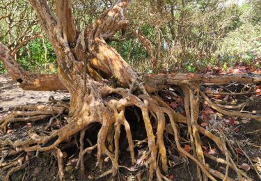
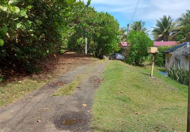
33 photos in total. Please click on a photo to see them all in the gallery.

Walking
Walking
Walking
Walking
Walking
Walking
Walking
Walking
Walking
Merci pour vos partages !